what am I currently doing?
In my time at National Geographic, my role as projects editor for interactive storytelling, I am both a designer-developer for feature interactive stories and a project manager for nearly all interactive stories published. I am responsible for prototyping, designing, and building stories from idea through publication. My focus is predominantly large-scale features such as “What’s the tallest mountain on Earth?” and the 9/11 Video Archive, described in more detail below. Beyond design, I am also the primary project manager for feature projects such as the inaugural and second National Geographic 33 stories, the upcoming year of stories connected to the special-issue for Home Asia, and am currently working on developing and building our editorial games strategy. I have developed new workflows, systems and documentation to ensure smooth project development. I also interface often with executives, outside vendors and teams across the organization to bring stories to life. Below are selected works from National Geographic.
National Geographic
my role: UX/UI designer, primary editor/author, project manager, primary vendor contact.
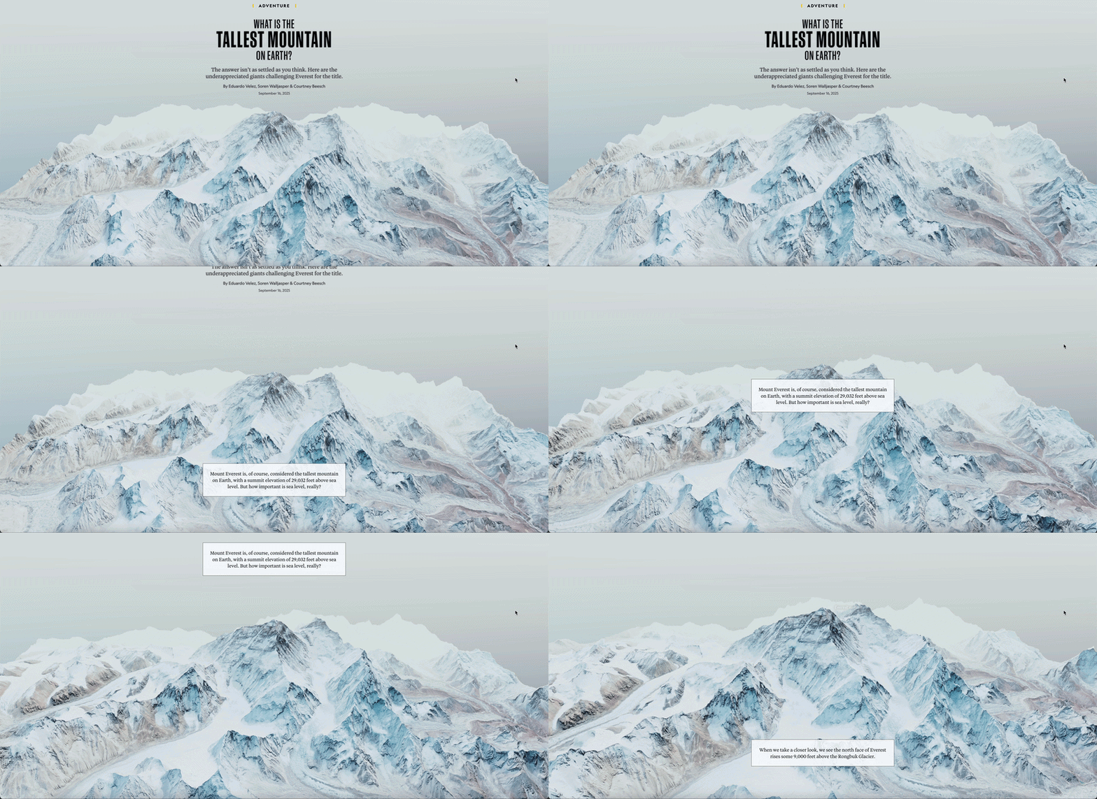
my role: UX/UI designer, secondary developer, co-author. Others involved: Soren Walljasper (Cartographer), Eduardo Velez (primary developer), Megan McCrink (designer), Brian Kevin (text editor).
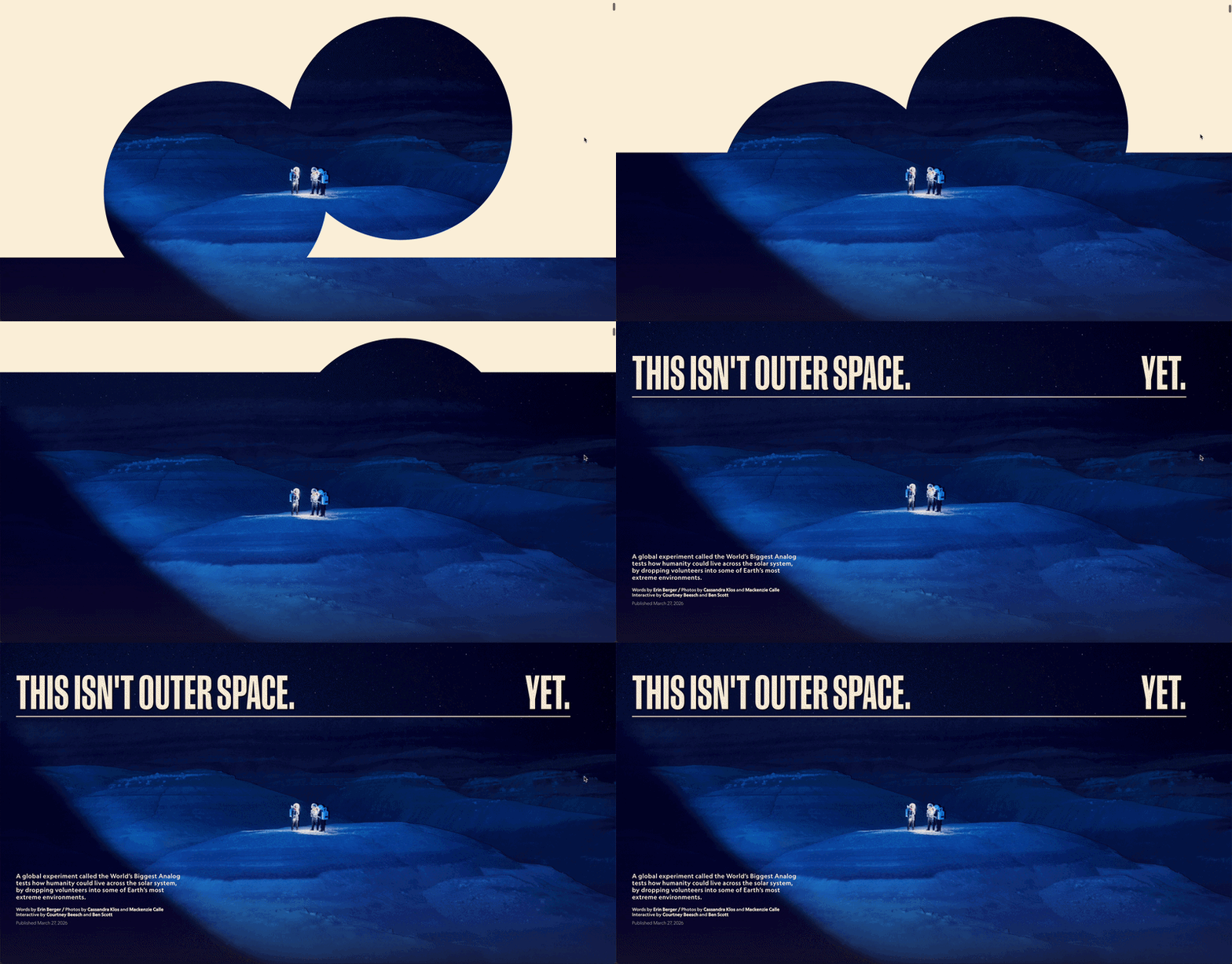
my role: UX/UI designer, developer. Others involved: Ben Scott (developer), Madison Tran (design), Cameron Peters (photo editor), Helen Thompson (text editor).
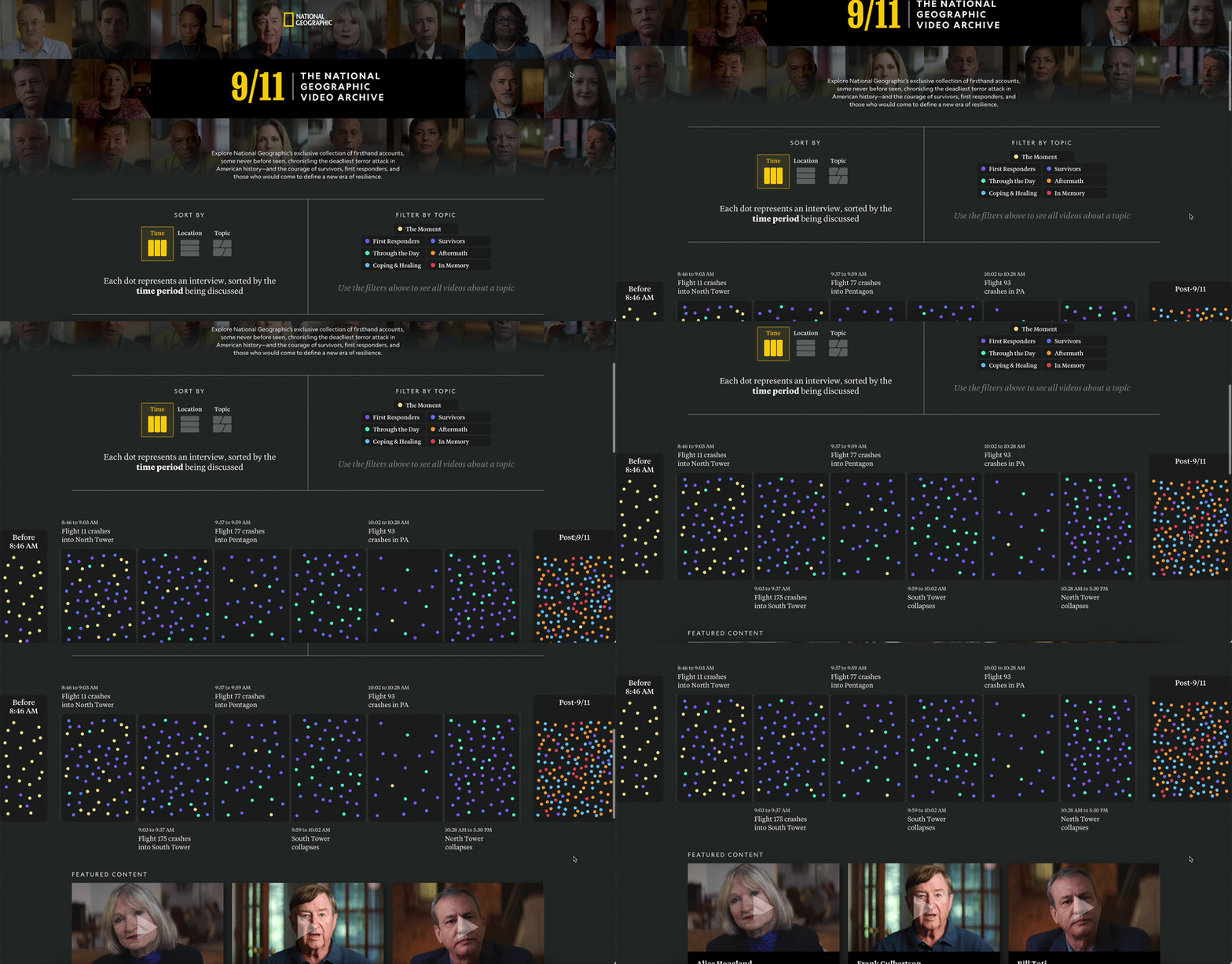
The video archive is a first of its kind production from National Geographic, bringing teams from across the organization together to create an immersive, filterable archive with video content from multiple docuseries. I acted as both editorial lead and project manager on this, overseeing the production of the build as well creating and maintaining the spreadsheet that fuels the entire database. I managed the relationship and deadlines with the vendor Graphicacy, who engineered the backend of the site. I worked in close partnership with the National Geographic channel and video teams to craft the themes, feel and video assets, producing this from start to finish in about seven months.
Published Sept. 2026
What's the tallest mountain on Earth? was a partnership between the interactives and cartography teams at National Geographic, namely between myself, Soren Walljasper and Eduardo Velez, to explore and explain how the way you decide to measure a mountain can vastly change which peak takes the crown for "tallest." For this, I designed, prototyped and wrote most of the text, UX/UI features and animations. I also project managed the deliverables across the organization.
Published: Sept. 2025
Awards:
Gold - 2025 Society of Publication Designers Web/App Information Graphics
Gold - 2025 Society of News Design - Story Page Design
Winner - 2025 OJA Awards - Excellence in Visual Digital Storytelling, Medium Newsroom
Finalist - 2025 Webby Awards - Best Editorial Feature
Finalist - 2025 ASME - Best News & Information Design
This is a custom feature, designed and developed by myself and Benjamin Scott, with design support from Madison Tran. The goal of this project was to bring readers into the feel of two space "analogs" -- where astronauts prepare for outer space by simulating the experience here on Earth.
Published: April 2026
The Washington Post
I began my career at The Washington Post as an audience editor on the social team, managing the main @washingtonpost and @postpolitics accounts. I was a key contributor in developing the audience-forward journalism with social first callouts that turned into real reporting. I wrote, edited and analyzed nearly every piece of content that made it onto either account for the duration of my time as editor. After a few years, I transitioned to a role on design team, building interactive digital stories and designing A1 and the metro section for the print paper. Whenever possible, I worked with the graphics team to build on my data analytics and visualization skills. Here are a selection of projects to explore.
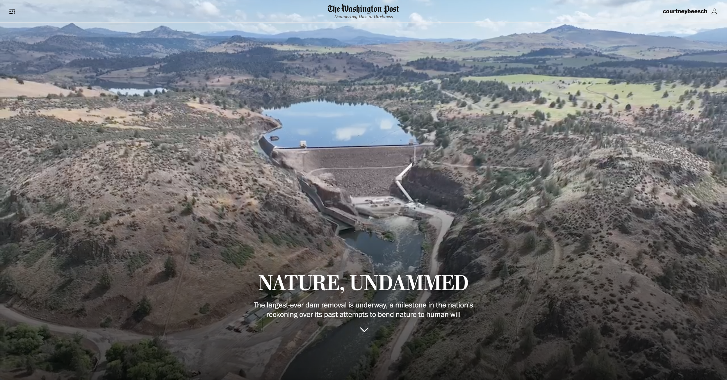

my role: designer, digital + print
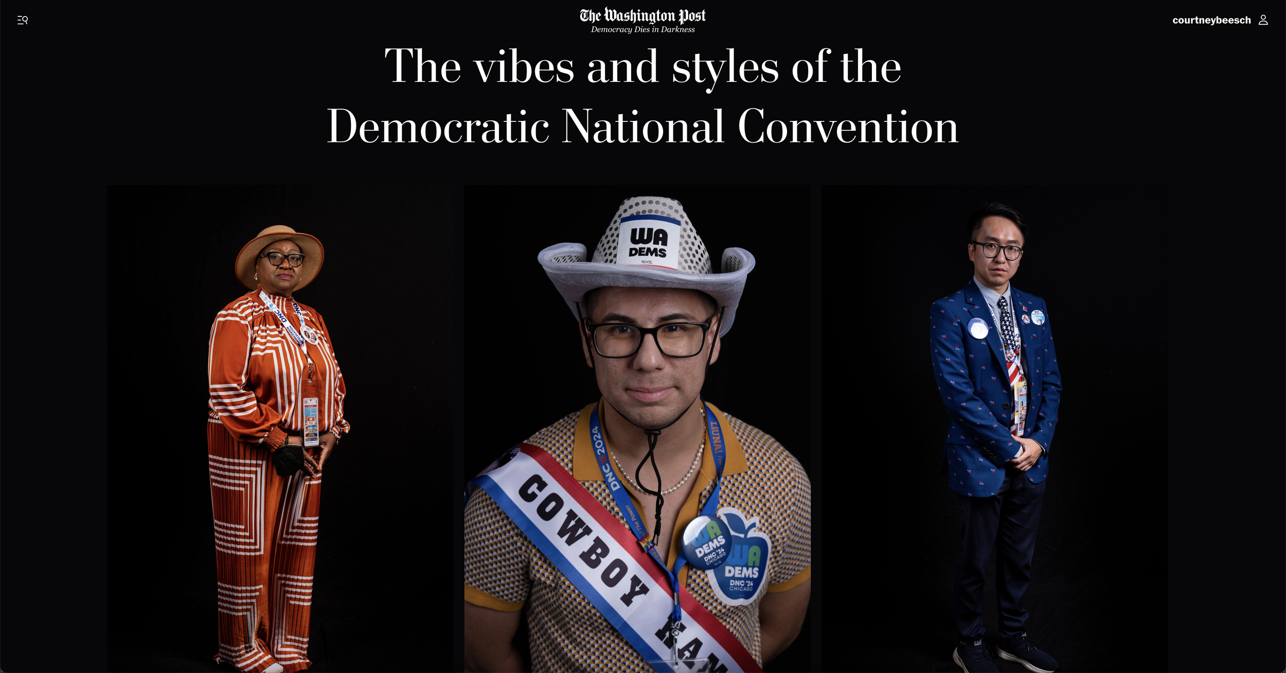
my role: designer, digital

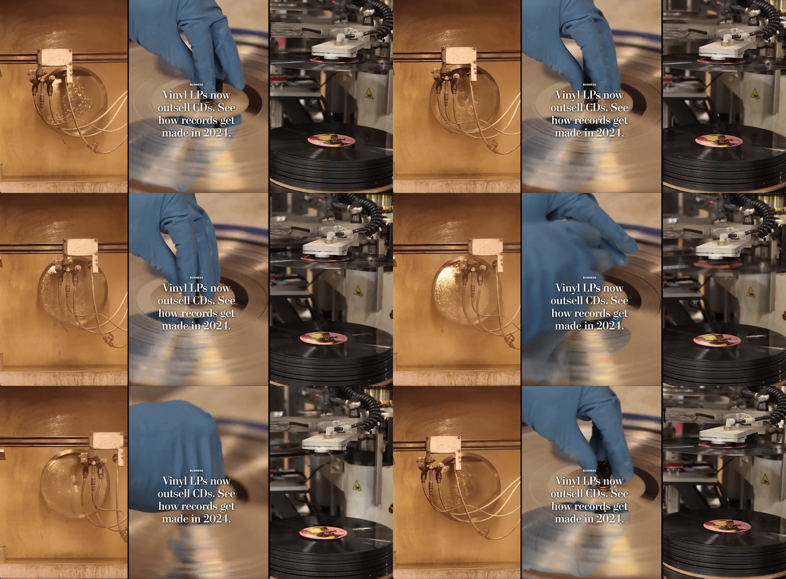
my role: designer, digital + print

my role: editorial illustration

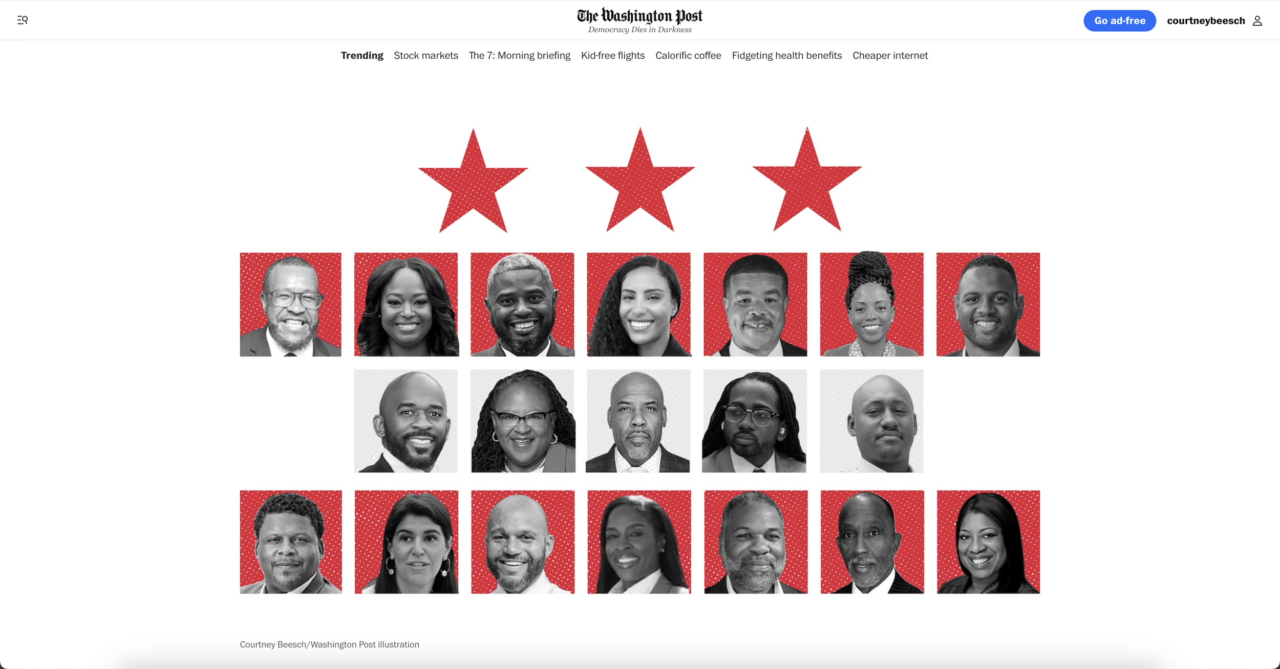

my role: designer, digital + print


my role: designer, digital + print
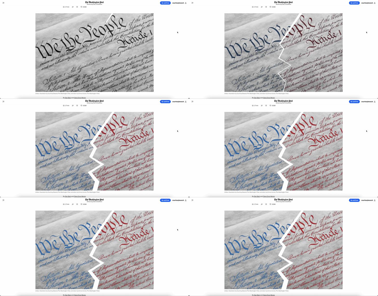
my role: designer, digital
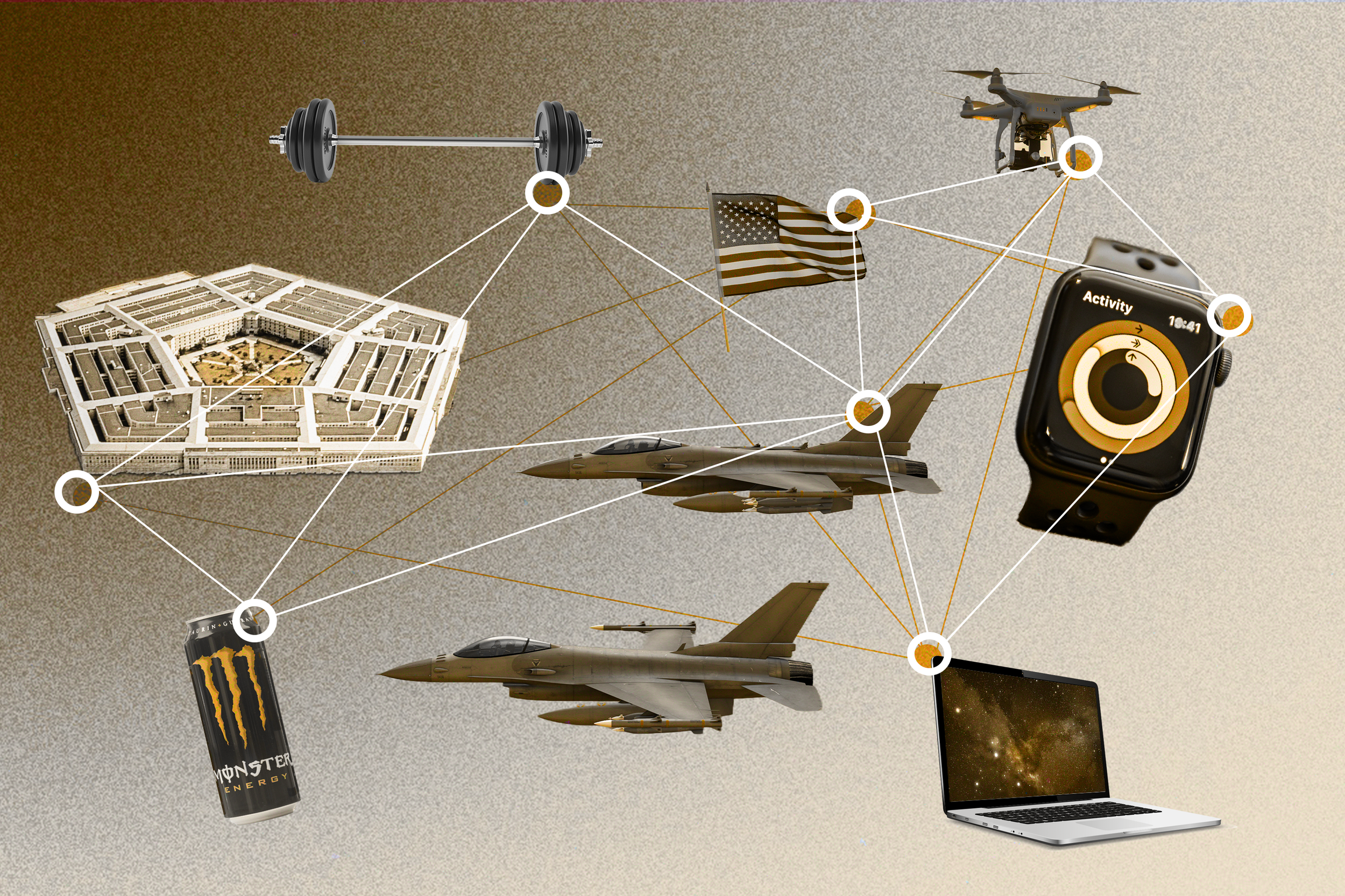
my role: editorial illustration


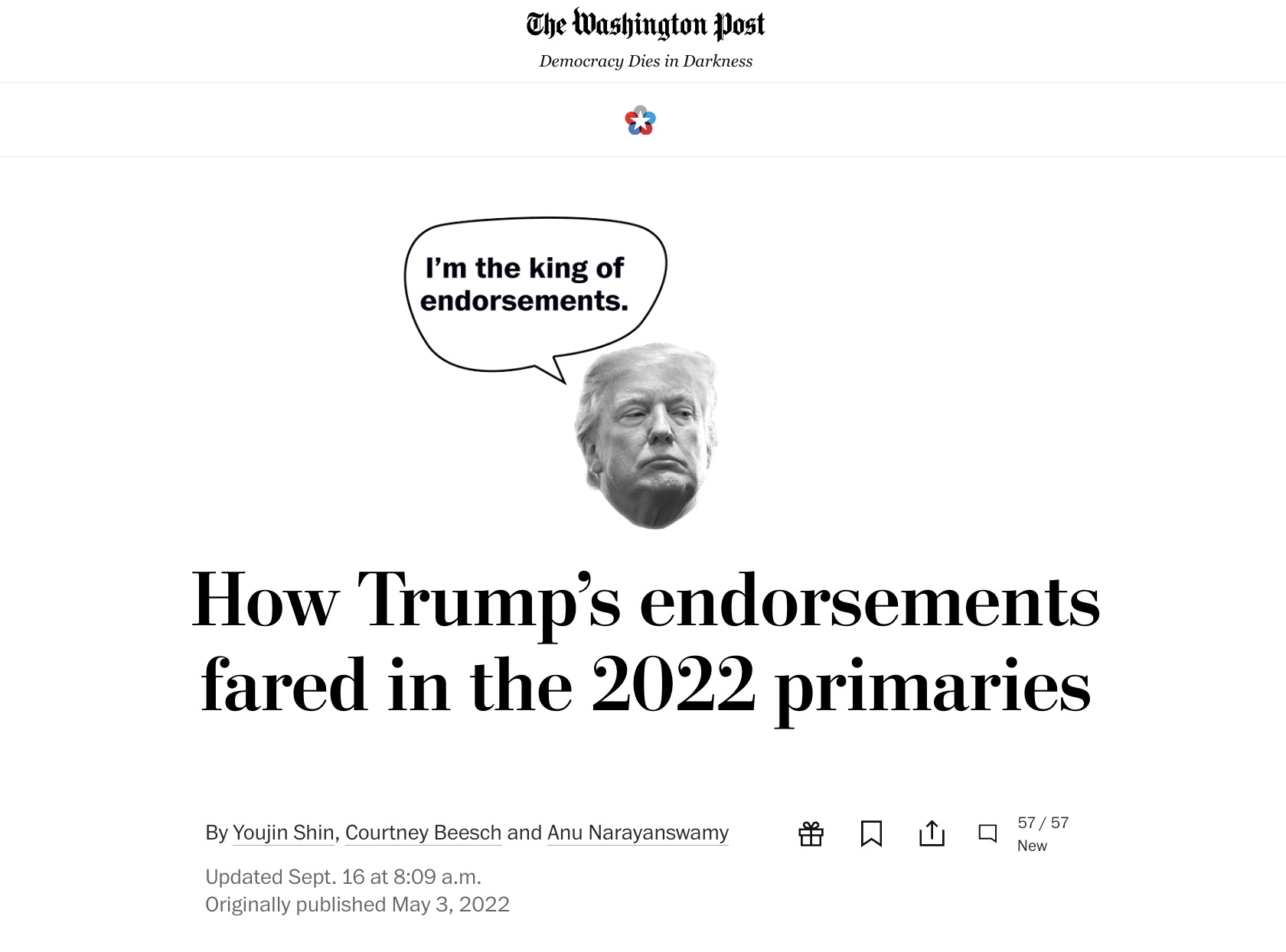
my role: graphics
my role: editorial illustration
Maps & Data Viz
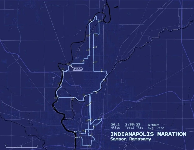
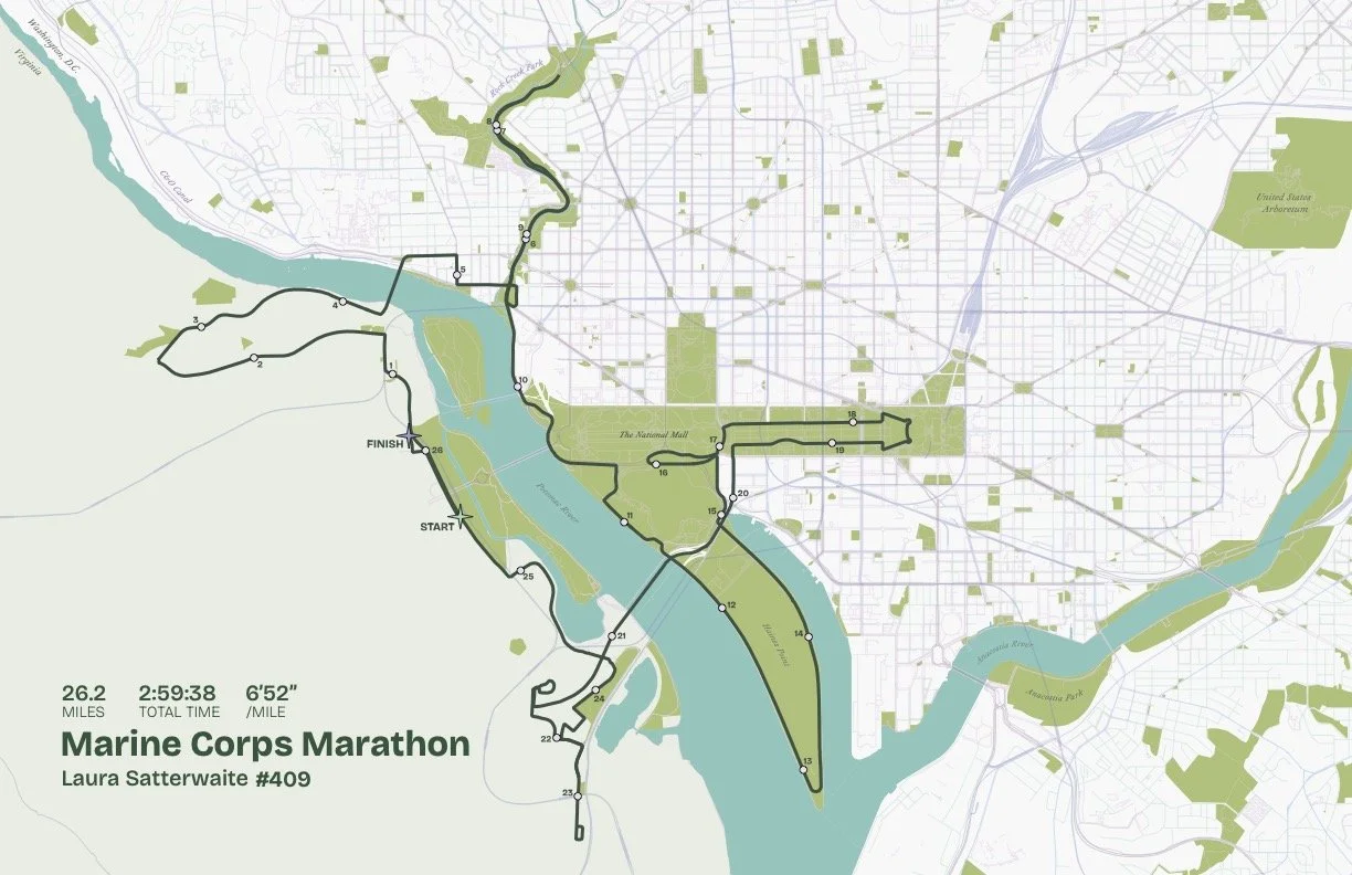
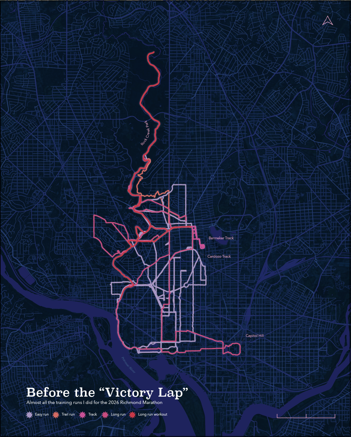
From January 2023 - May 2024 I attended night classes at the Pratt Institute and completed a master’s level certificate in geospatial analysis and design. I still play in QGIS as much as possible and love to make race maps for my friends.
Interactive run club map